City of santa barbara
HAZARDOUS FUELS MITIGATION
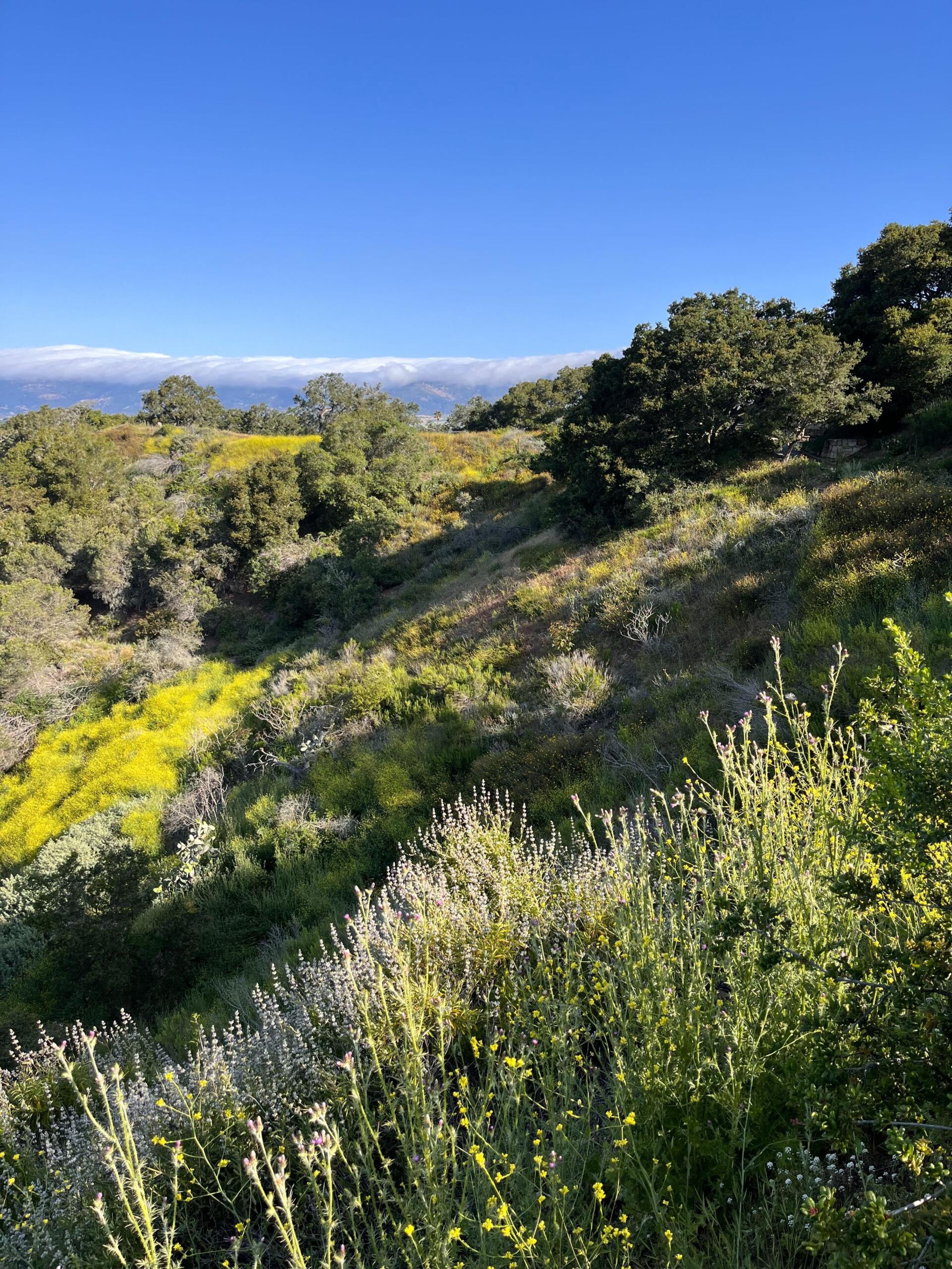
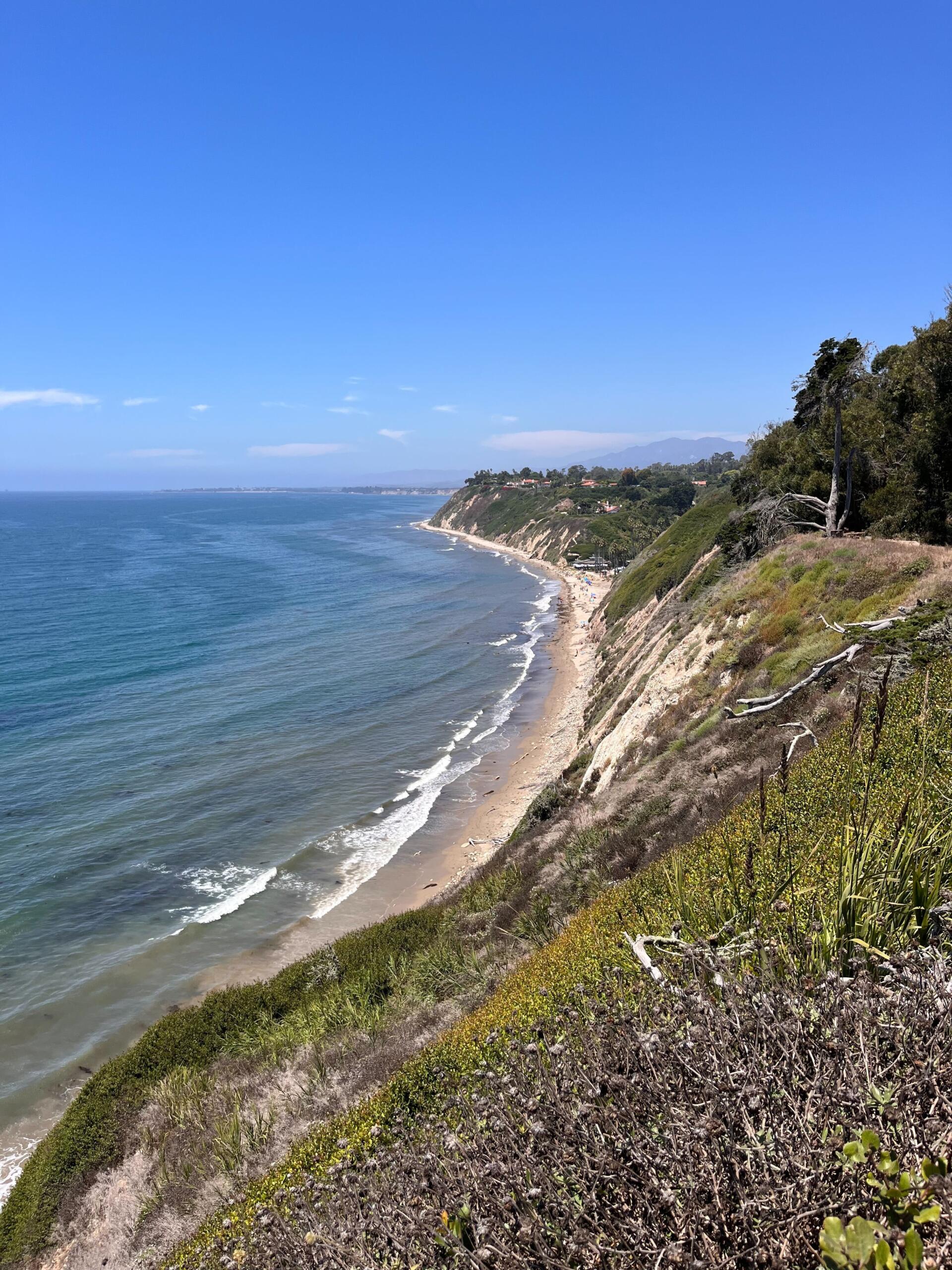
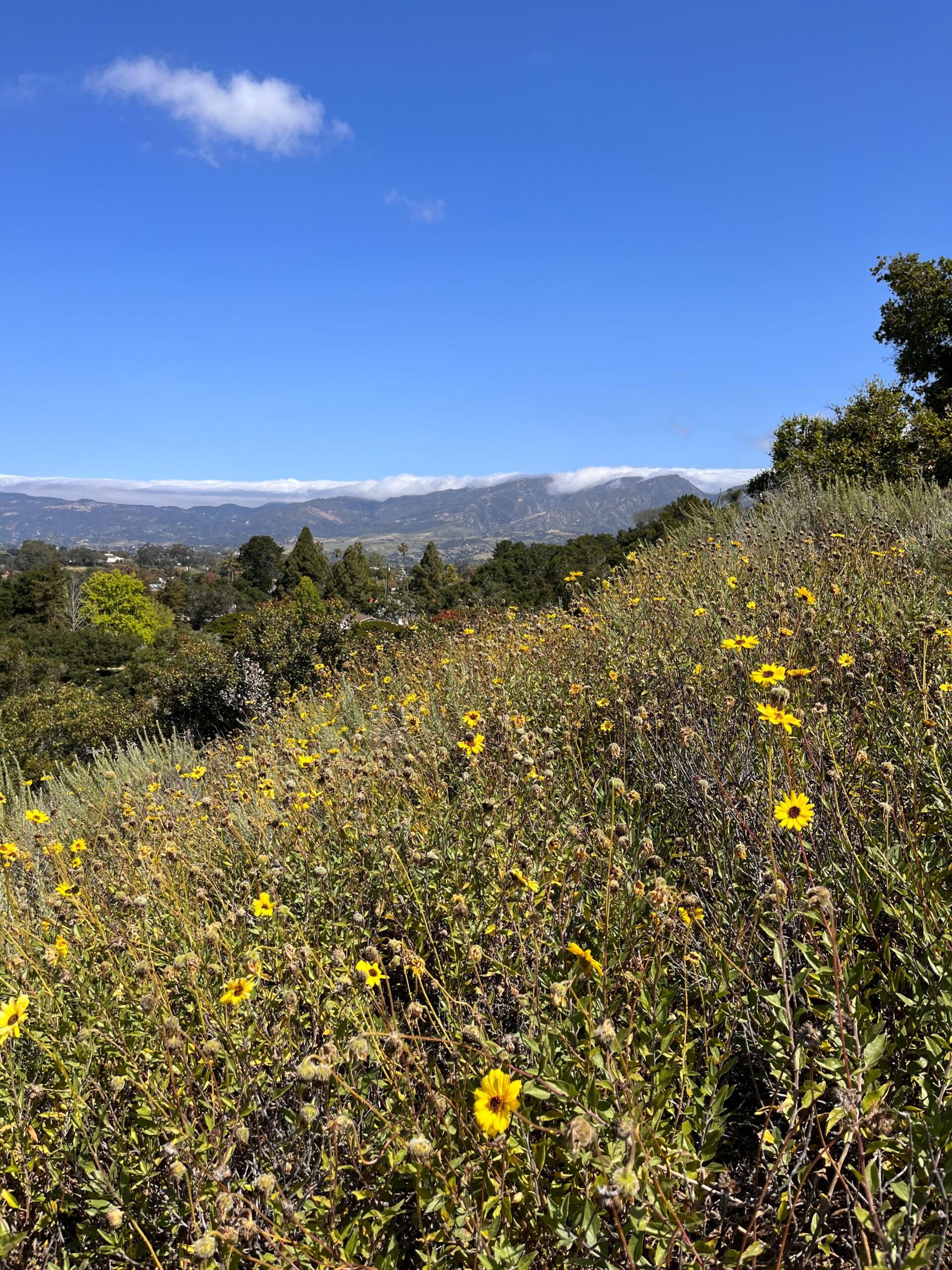
SummitWest is a strategic partner with the City of Santa Barbara, providing guidance in implementing a comprehensive and sustainable approach to reducing hazardous fuels within ten of the City’s open space parks. SummitWest completed biological surveys and produced ten Biological Resources Assessment Reports for each unique open space park.
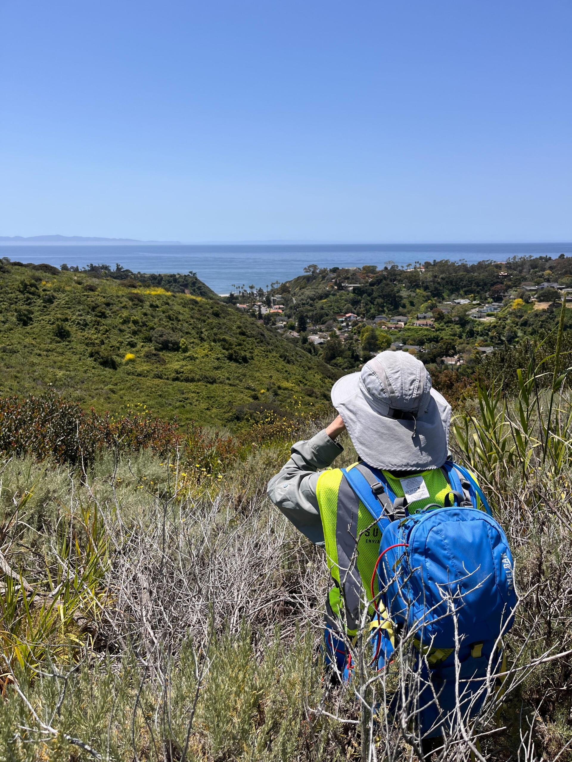
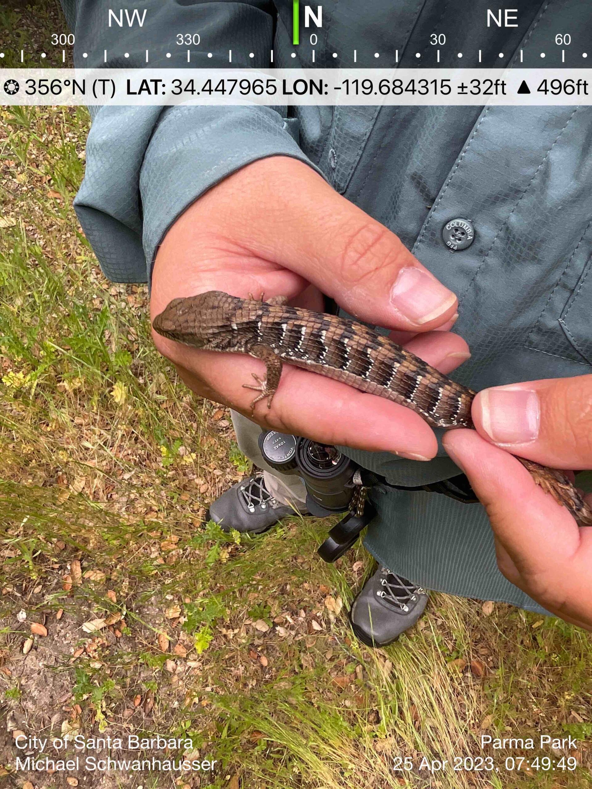
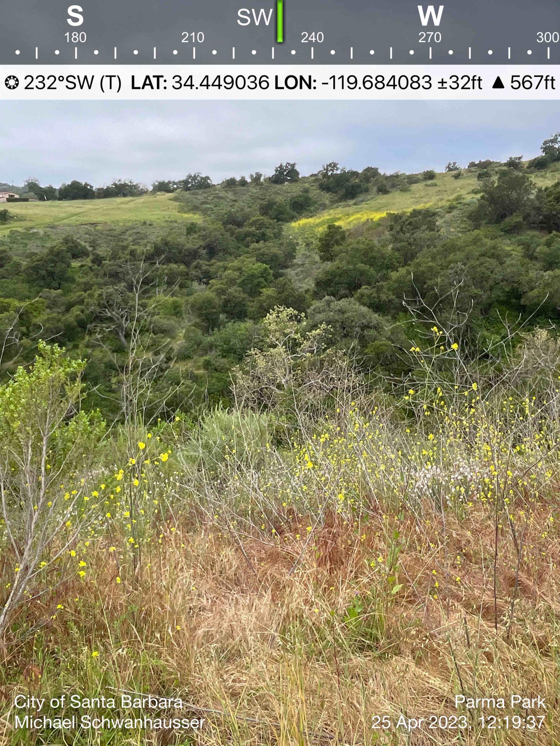
SummitWest was commissioned by the City of Santa Barbara to conduct comprehensive biological surveys necessary to support Hazardous Fuels Mitigation and inform recommendations that will mitigate wildfire risk while also improving greenspaces. The field work included pre-project surveys for special status plant and wildlife species, wildlife habitat, and sensitive natural communities. These surveys are vital to be able to avoid significant impacts to any sensitive species or habitat that are present within and around the approximately 631 total acres during project activities. Of similar importance, biologists conducted surveys locating invasive plant species to effectively and efficiently target their removal as well as minimize their spread during project implementation. Analyses of field findings fueled the writing of ten Biological Resources Assessment Reports, which included recommended avoidance and minimization measures that may also serve to identify areas for potential restoration projects in the future. A comprehensive GIS data package was also prepared, in support of the City’s preparation of required planning documents.
Project Highlights
Client: City of Santa Barbara, CA
Date: 2023 – 2024
Location: City of Santa Barbara open space parks (ten)
Size: 631 acres
Sector: Federal, Park and Open Space
Services Provided
- Natural Resource Mapping
- Site and Habitat Assessments
- Field Data Analysis
- Attribute Tables
- Georeferenced Figures
- Data Integration & Database Creation
- GIS Mapping
- General Botanical and Rare Plant surveys
- Nonnative Plant Surveys
- Vegetation Classification and Community Mapping
