PLUMAS NATIONAL FOREST RARE AND INVASIVE PLANT SURVEYS
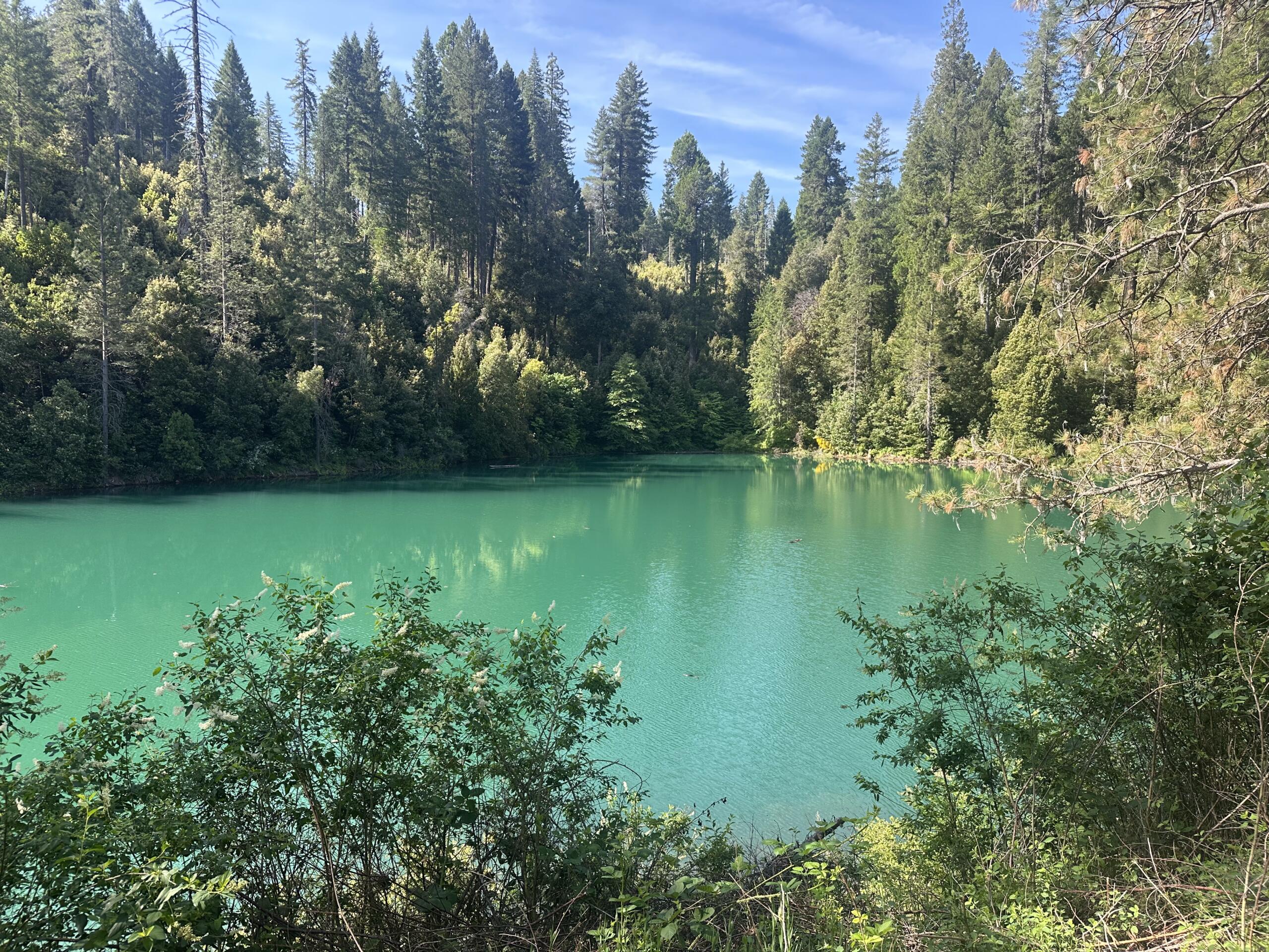
SummitWest supported the fire prevention and management goals of the Plumas National Forest (PNF) with botanical surveys for rare and invasive plants across 19,000 acres. SummitWest’s surveys directly support the implementation of fuels management and restoration treatments in the Plumas NF, helping the Forest Service meet NEPA and project-level analysis requirements. The detailed occurrence records and invasive species data contribute to reducing impacts on sensitive resources and aid long-term land management strategies to increase the forest’s resilience to wildfire and climate stress.
SummitWest Environmental (SummitWest) is supporting GeomorphIS and the USDA Forest Service on the Plumas National Forest (PNF) Community Protection Projects. These projects aim to reduce wildfire risk to communities, critical infrastructure, evacuation corridors, and natural resources through a suite of vegetation treatments, including mechanical and hand treatments, mastication, prescribed burning, and road maintenance.
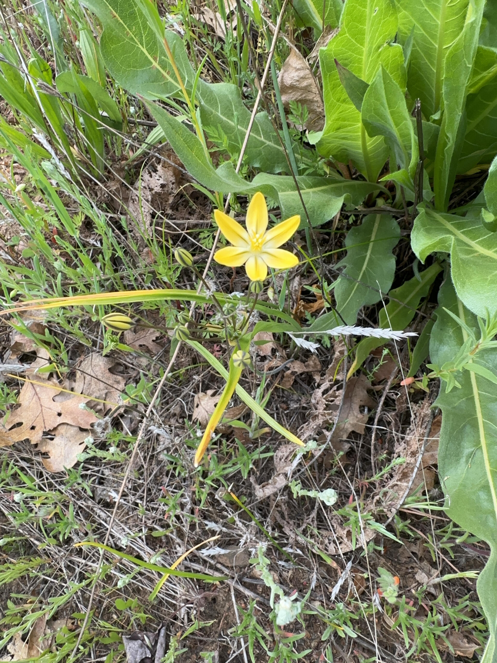
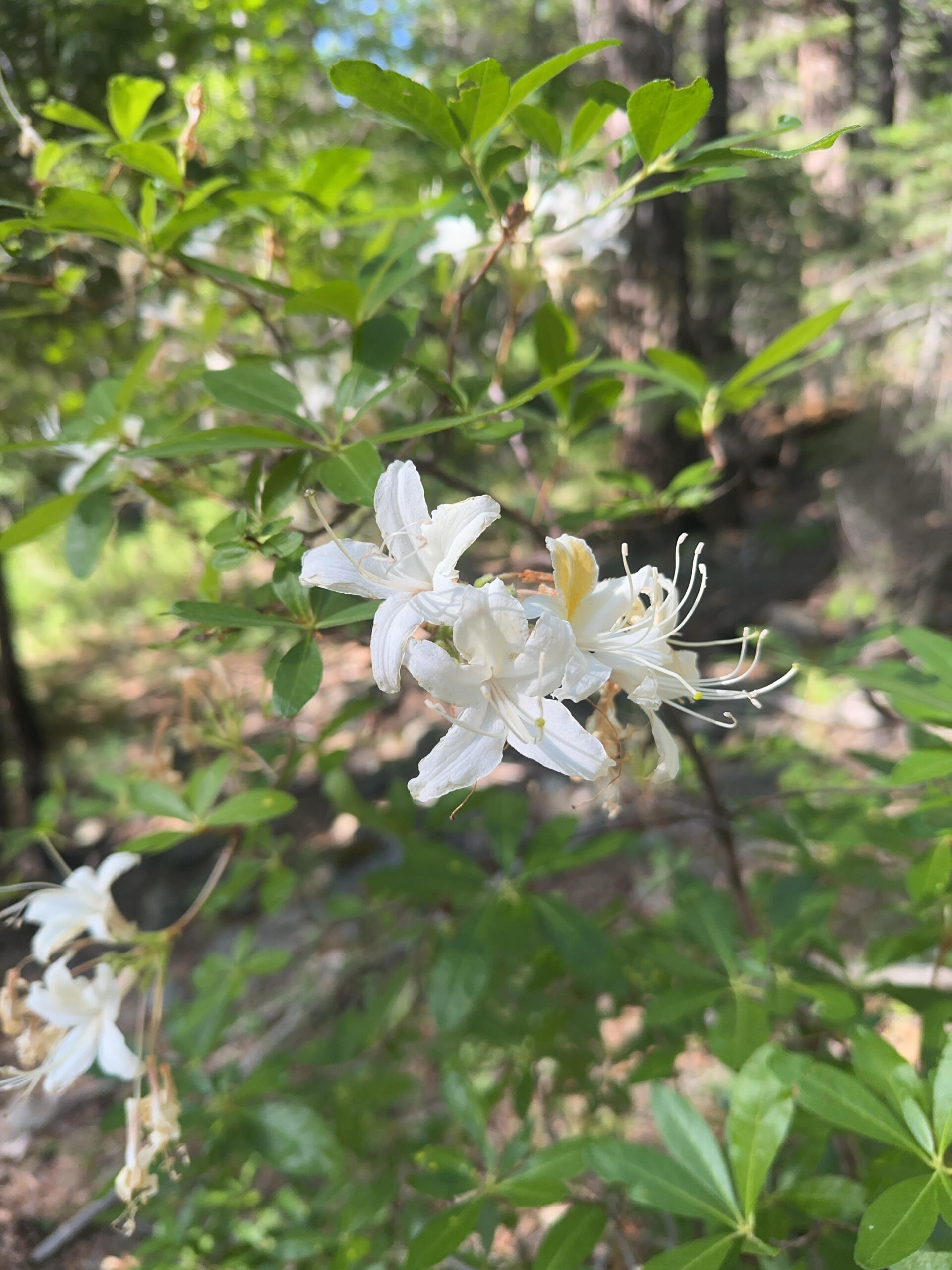
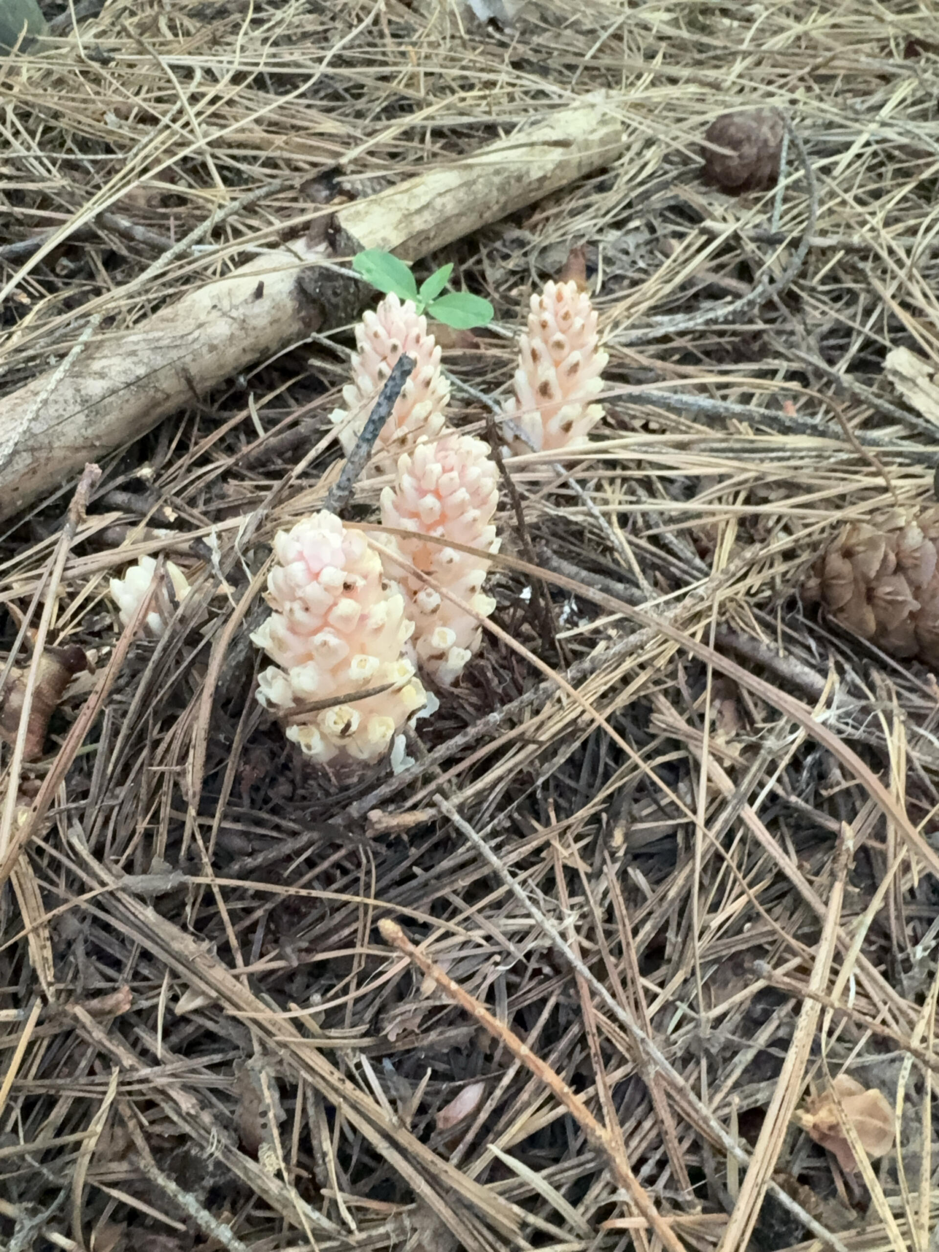
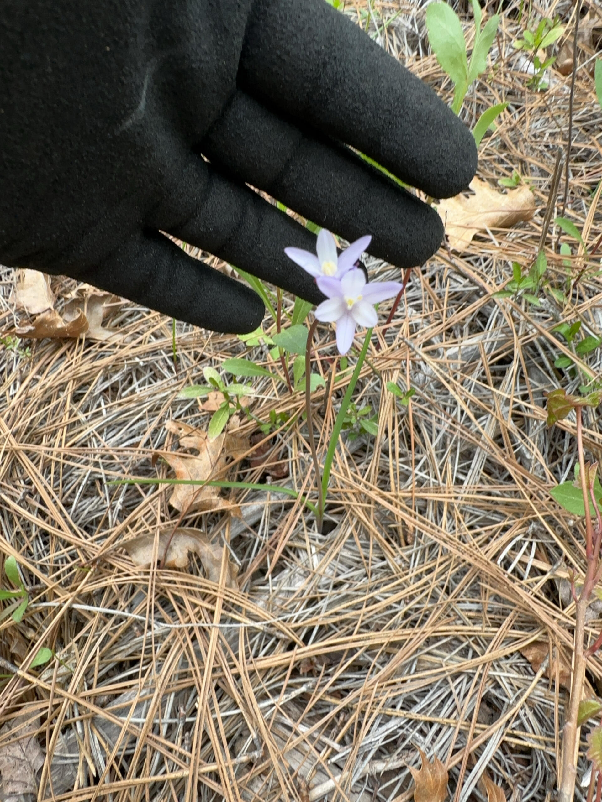
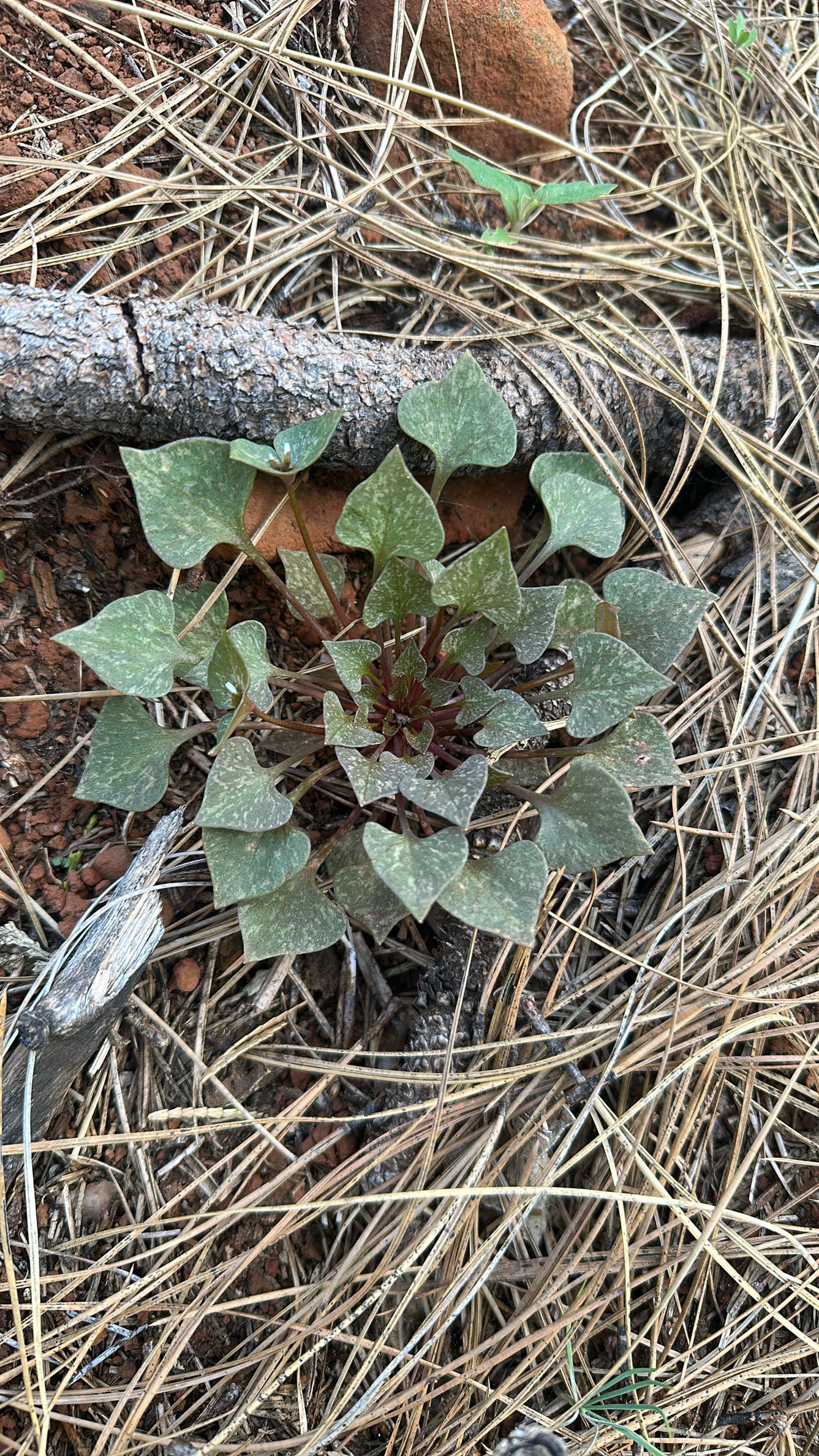
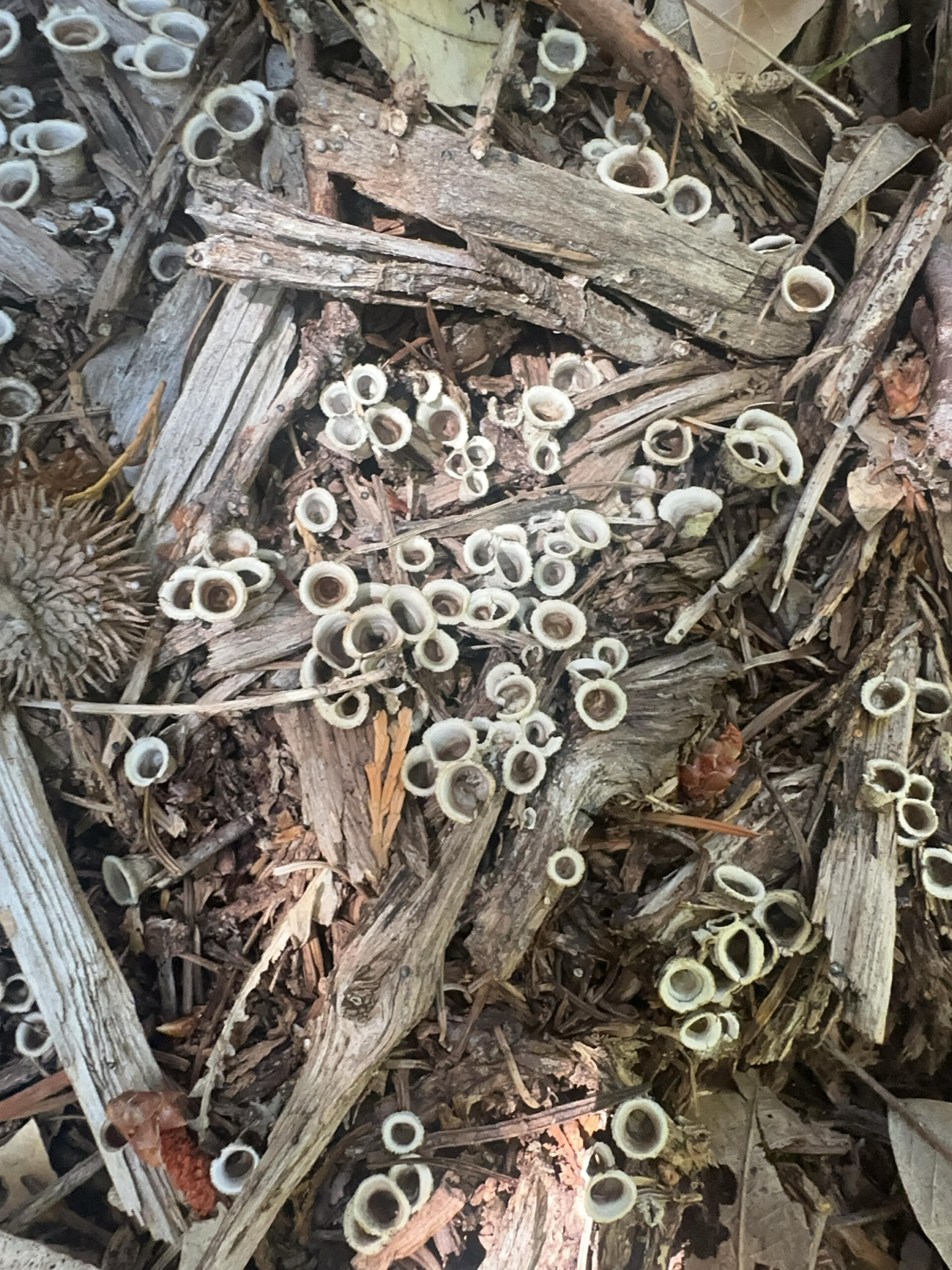
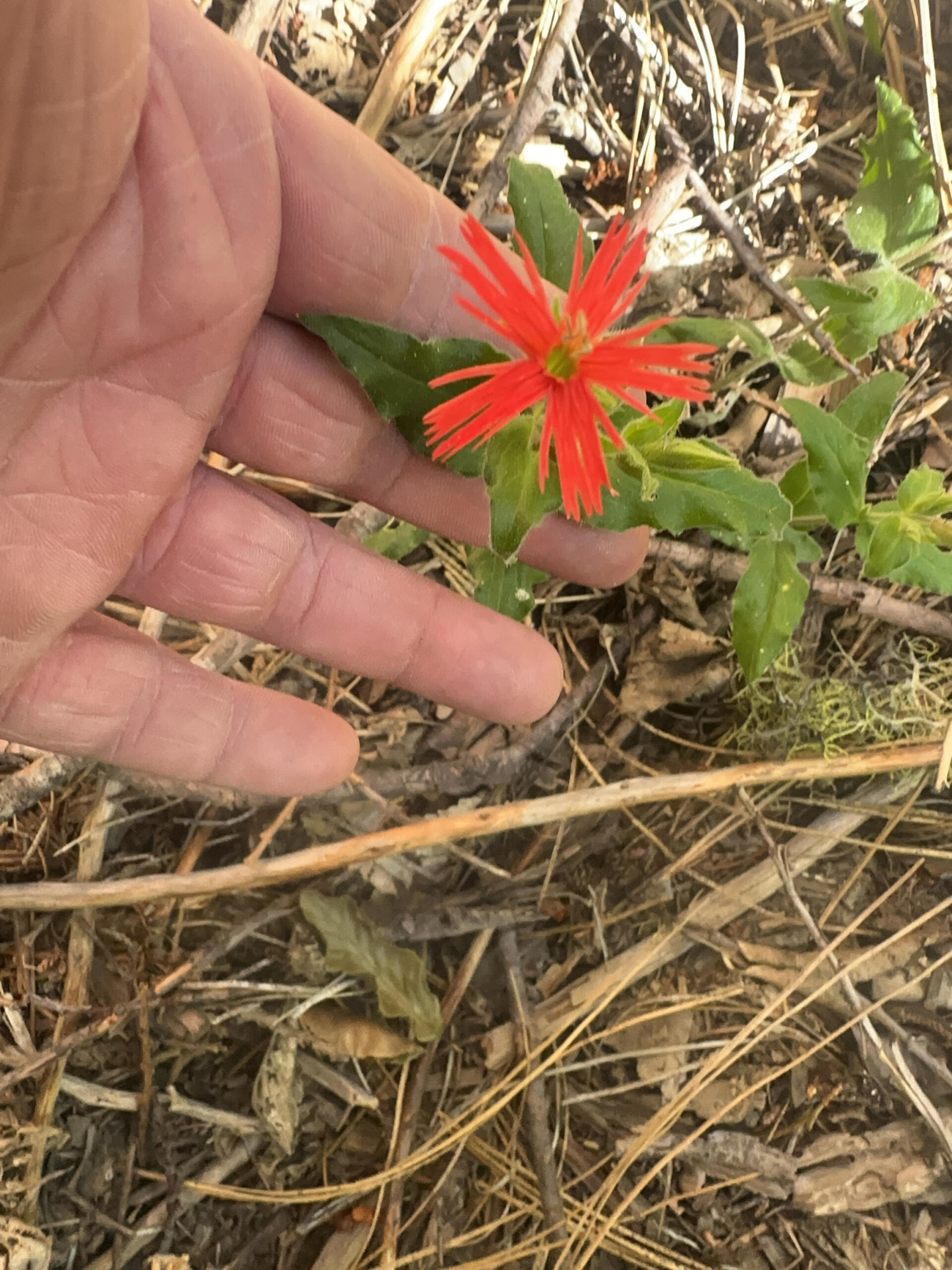
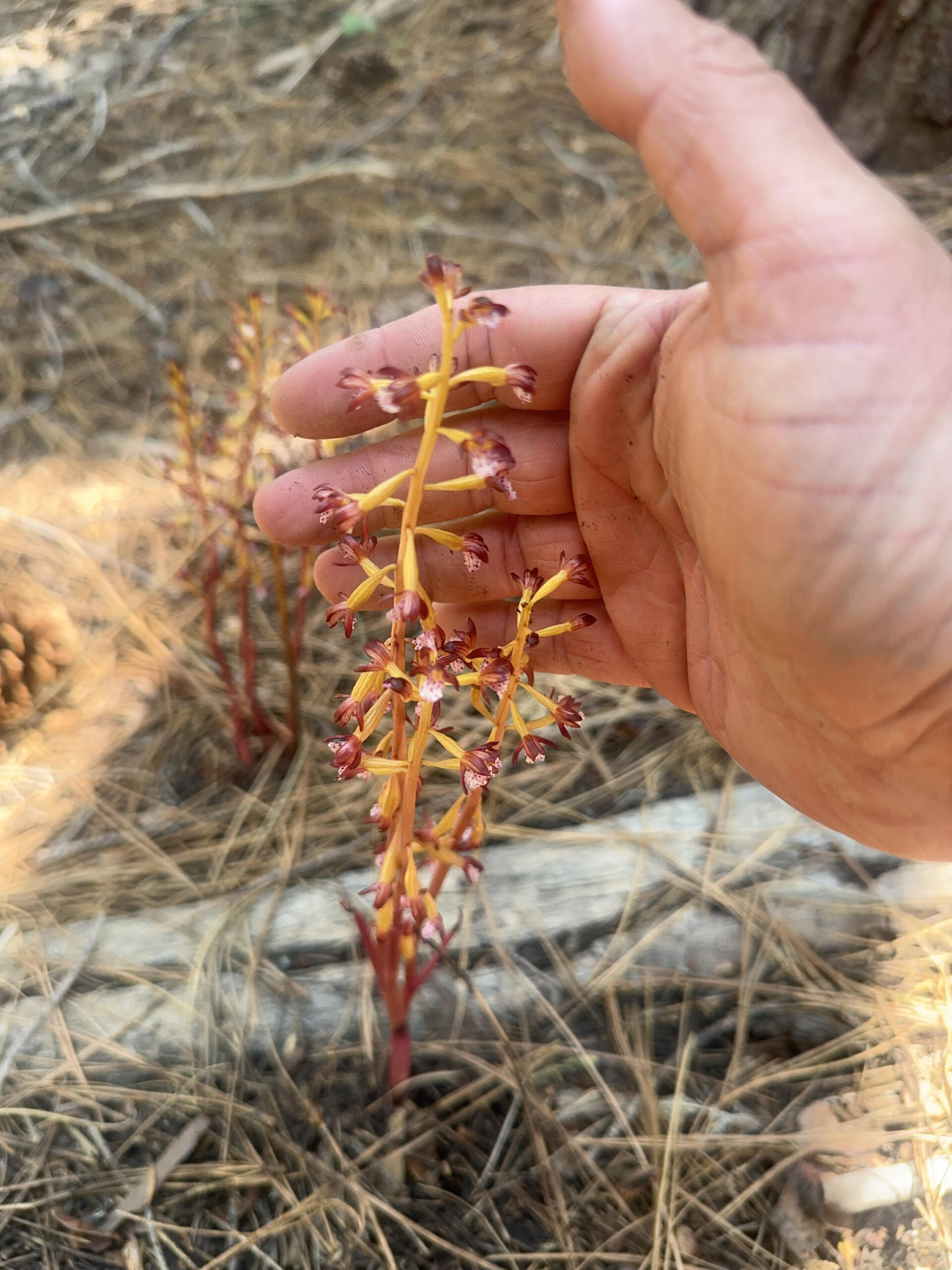
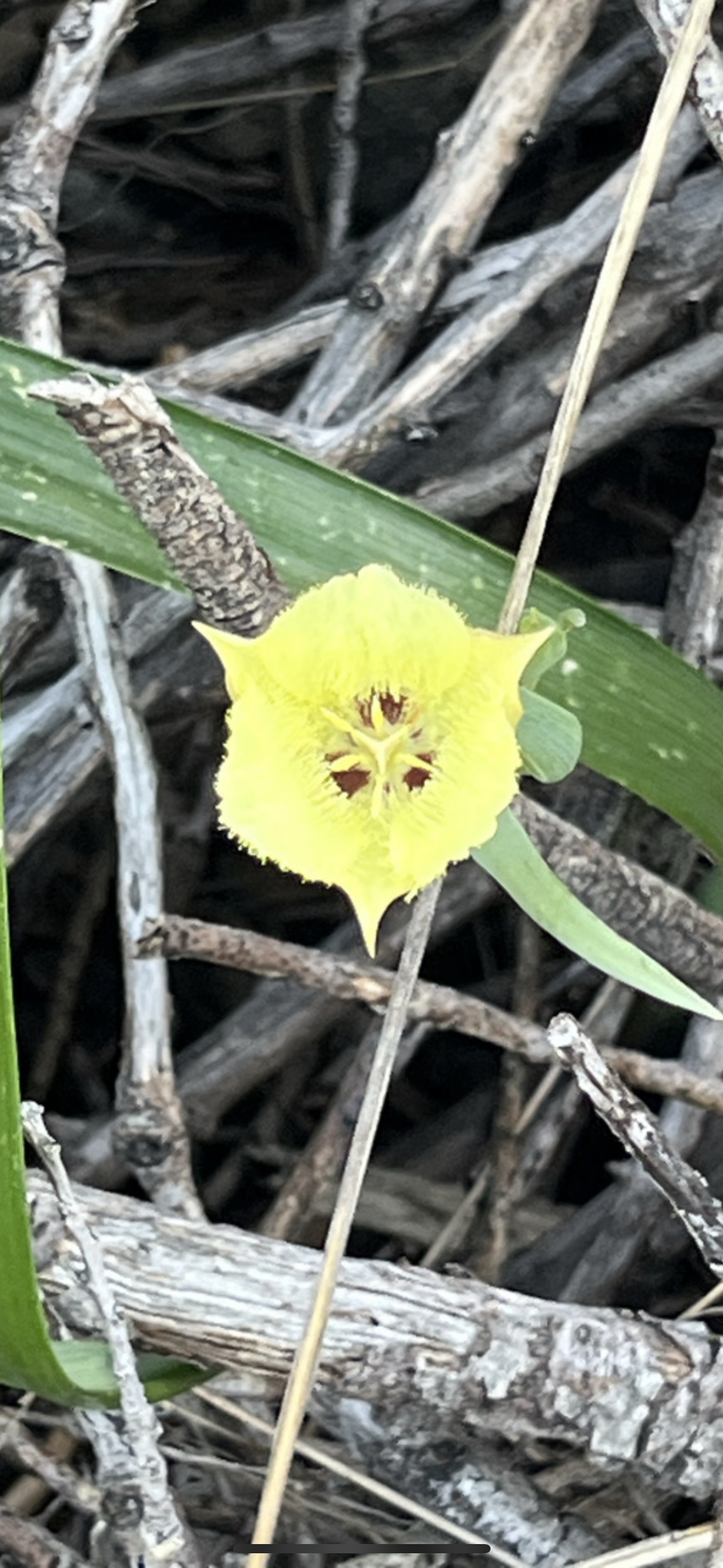
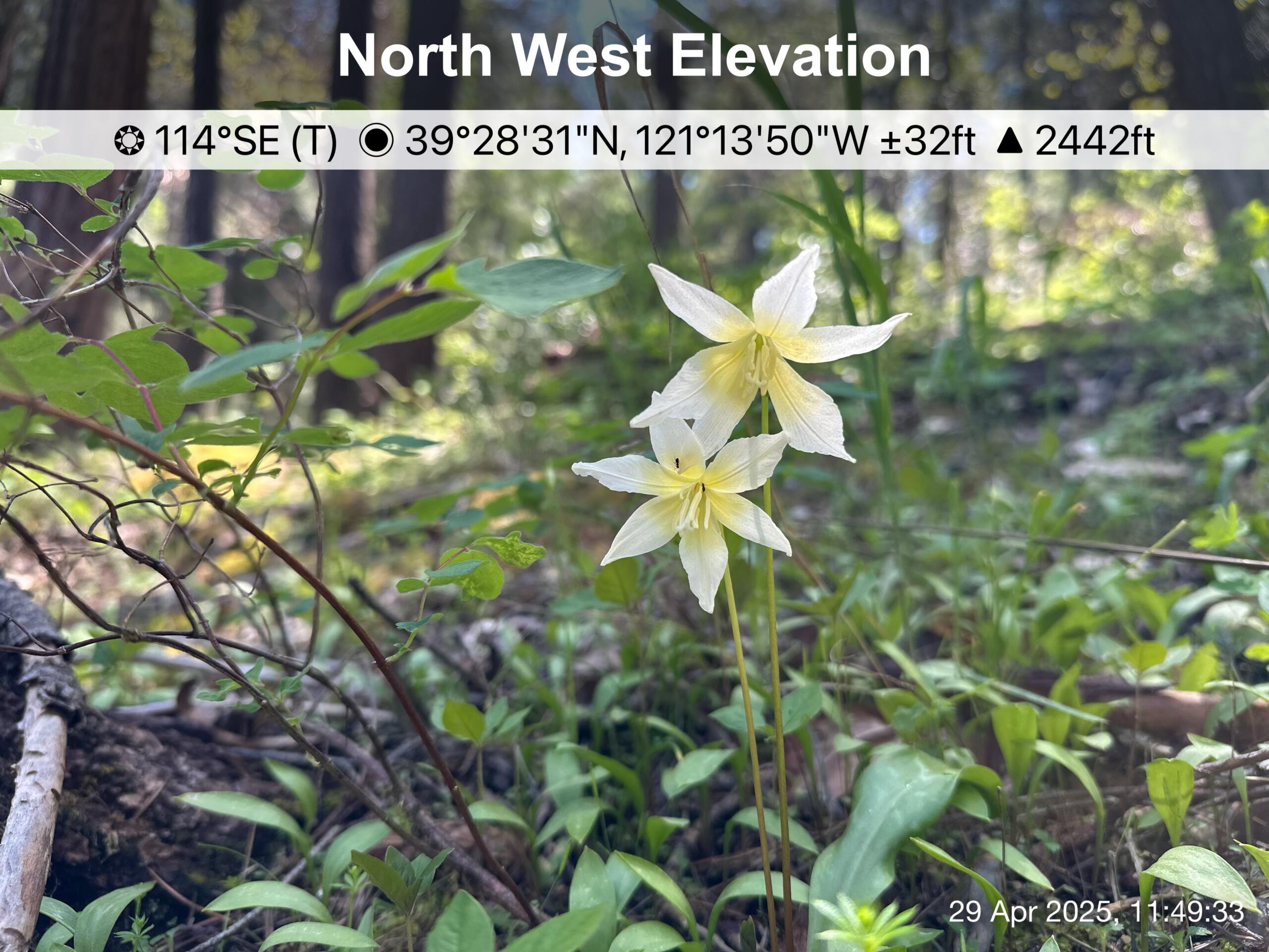
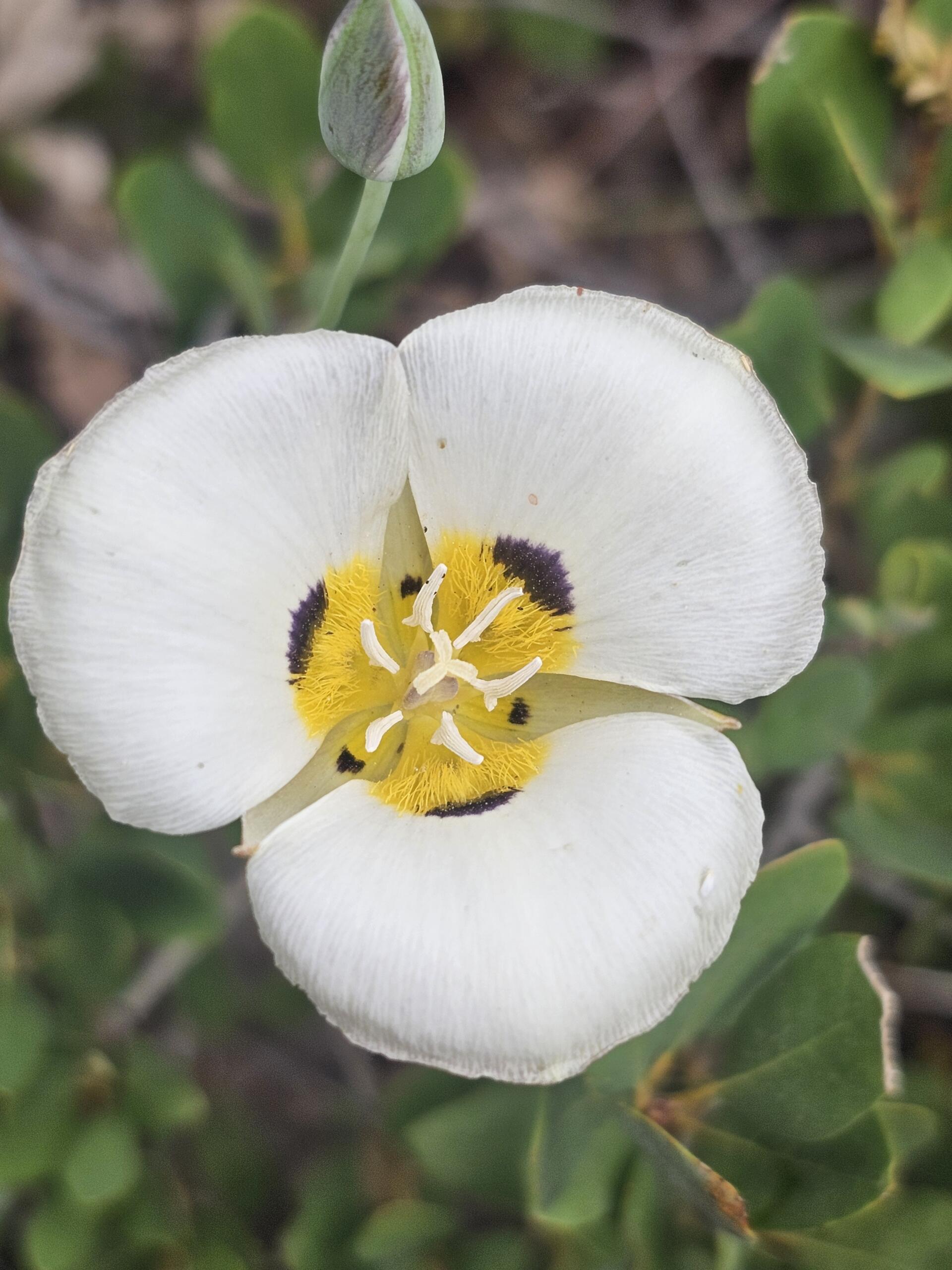
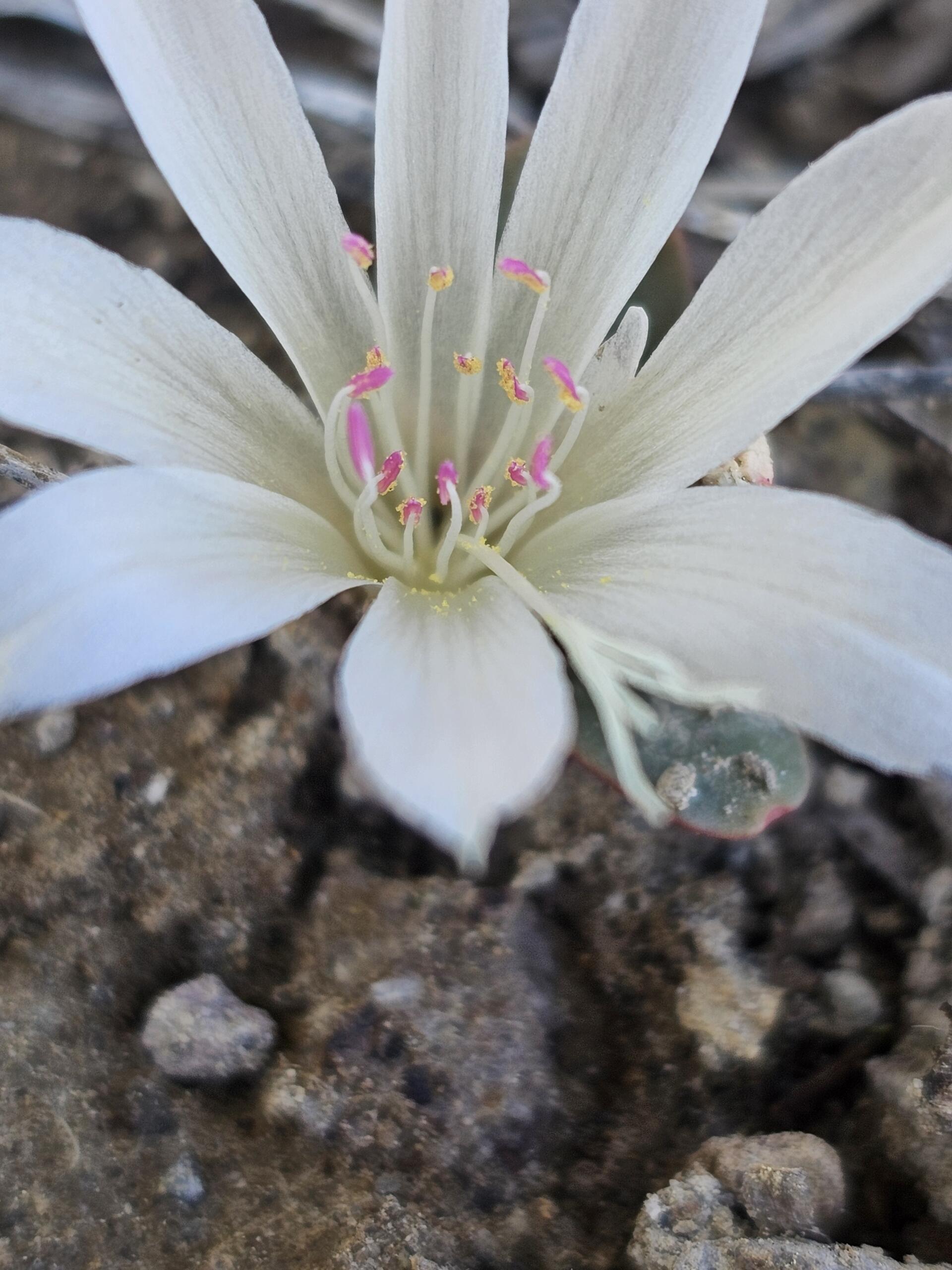
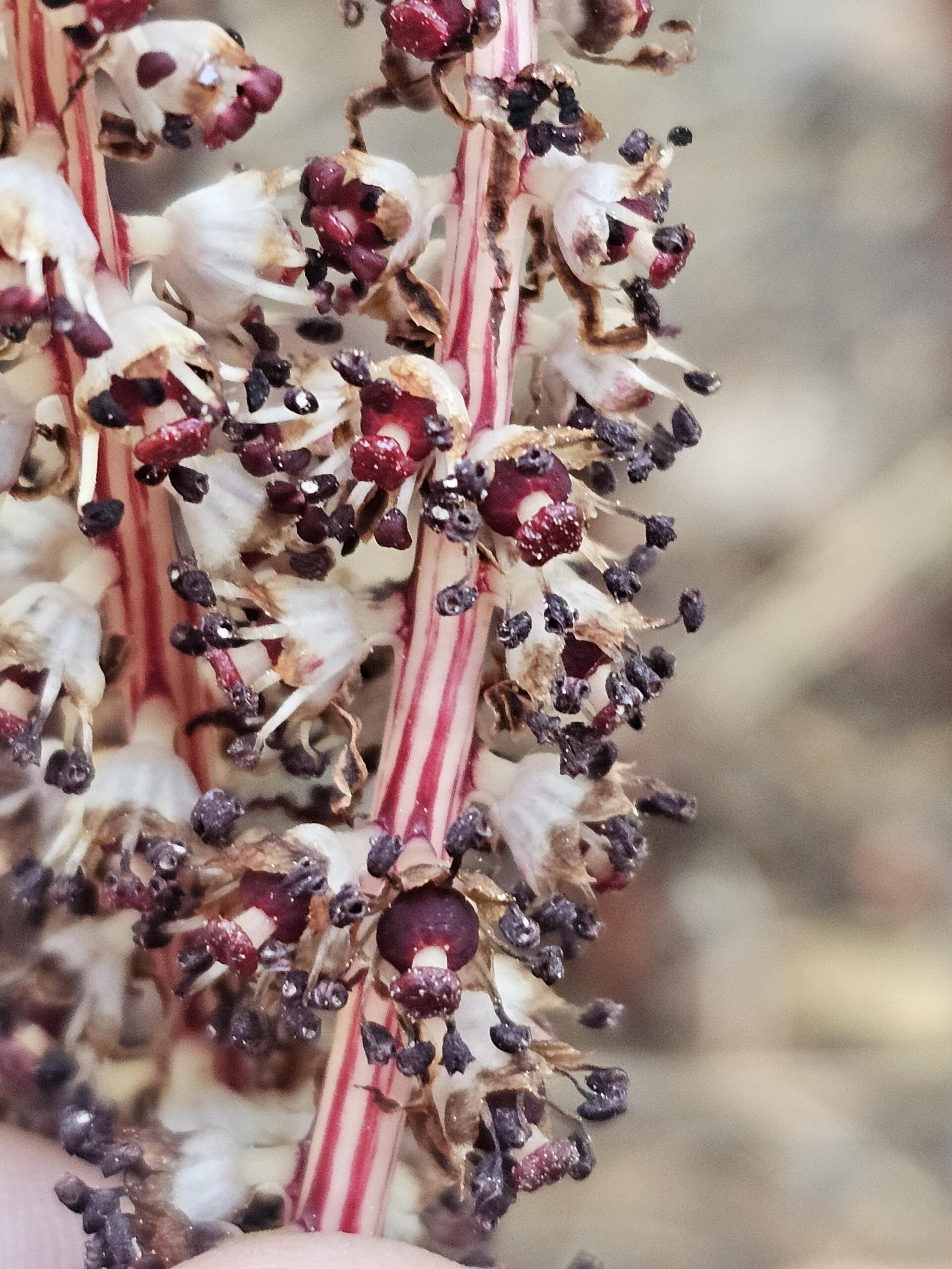
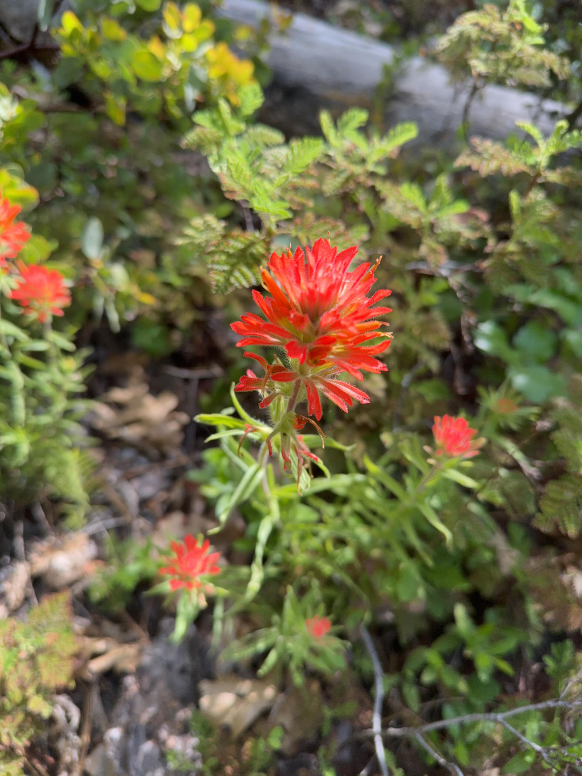
SummitWest botanists surveyed approximately 19,000 acres within the West Slope Communities of the PNF during the 2025 field season, mapping the federally listed threatened and endangered species, non-listed sensitive plant species including regional forester sensitive species, and invasive/noxious weeds that were observed. SummitWest then provided a comprehensive final report that described all survey findings, and provided recommendations to preserve special status species and communities, treat invasive plant infestations, and prevent new infestations while the project work takes place. A detailed geodatabase was also created during the botanical surveys, the final version of which will aid land managers in fire resilience efforts within PNF.
Project Highlights
Client: Plumas National Forest, GeomorphIS, LLC
Date: 2025
Location: Plumas National Forest, CA
Sector: Federal, Park and Open Space
Size: 19,000 acres
NAICS codes: 541620, 541370, 115310
Services Provided
- Botanical surveys for Threatened, Endangered & Sensitive (TES) species, Forest Service Sensitive Species, Watch List species, and invasive/noxious weeds
- Detailed occurrence documentation including preparation of 300 occurrence forms along 60 miles
- Resource-grade GPS data collection and GIS database development following PNF data dictionary standards
- Real-time data integration using ArcGIS Online (AGOL) platform for QA/QC and Forest Service coordination
- Pre-field literature reviews, habitat modeling, and reconnaissance to guide targeted survey efforts
- Field delineation of targeted special habitats such as fens, seeps, springs and vernal pools (seeps and springs observed)
- Intensive surveys in high-potential habitats with complete coverage protocols to meet strict detection standards
- Quality control program including field re-inspections, track verification, and surveyor calibration sessions
- Preparation of interim and final technical reports with floristic inventories, maps, and spatial data deliverables
- Coordination with GeomorphIS and Plumas NF staff including regular progress meetings and responsive scheduling adjustments


