TRIBAL
SummitWest worked on its first tribal project in 2010, providing rare plant surveys to the Campo Indian Reservation in San Diego County. SummitWest has since worked on several tribal projects and understands the nuances and unique approaches to tribal work, such as local access, check in/out procedures, specialized processes and in some cases, confidentiality.
CAPABILITIES
SummitWest supports tribal work in both biological studies as well as cultural and archaeological work and offers tribal consultation and coordination under Section 106 National Historic Preservation Act (NHPA) and California’s Assembly Bill 52 (AB 52).
Our work varies from endangered species protocol-level surveys to rare plants and rangeland habitat assessments to permitting and planning consultation.

REPRESENTATIVE PROJECTS

TERRA-GEN DEVELOPMENT, PROPOSED MANZANITA AND CAMPO WIND PROJECTS, QUINO CHECKERSPOT BUTTERFLY FOCUSED SURVEYS
2023. San Diego County, CA
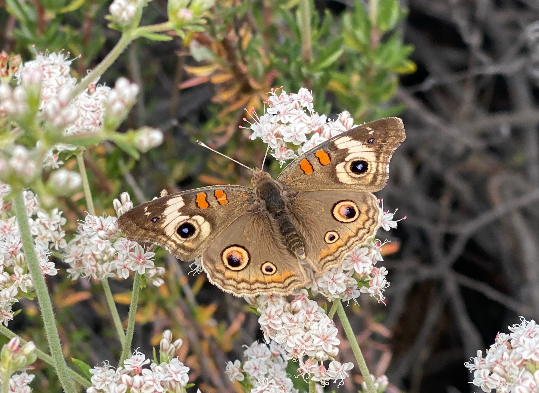
Chambers Group, Inc., contracted by Terra-Gen Development Company, LLC, retained SummitWest Environmental, Inc. to conduct focused surveys for Quino checkerspot butterfly (Euphydryas editha quino; QCB) during the spring season of 2023 for the proposed Campo and Manzanita Wind Projects located on the Campo Kumeyaay Nation’s Reservation. The purpose of the surveys was to map suitable QCB habitat and determine the presence or absence of QCB at the project site. SummitWest supported these surveys with a team of three permitted QCB surveyors. The total survey area consisted of 1,086 acres (Campo) and 859 acres (Manzanita).

UMATILLA RANGELAND PLANT COMMUNITY SURVEYS
April 2021- August 2022, Isquulktpe Creek Watershed Project, eastern Oregon
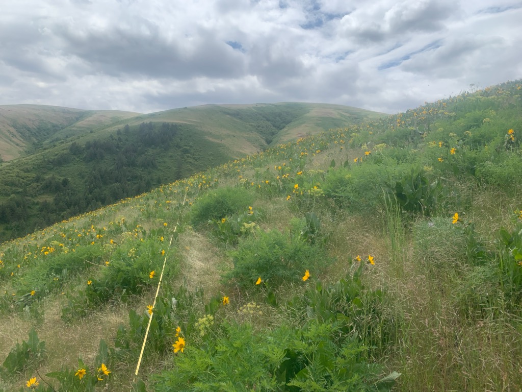
SummitWest was commissioned by the Confederated Tribes of the Umatilla Indian Reservation (CTUIR) to conduct comprehensive field reconnaissance surveys of plant communities and ground cover to support the Isqúulktpe Creek Watershed Project and acquire high quality rangeland plant community monitoring data to inform management and mitigation efforts. The project work included both pre-survey office research of species that may occur and of transect locations, and field surveys by a qualified senior botanist along 17,300-feet-long predetermined survey transects, utilizing methodology created in 1999. These surveys are vital to be able to ascertain plant community changes by comparing resulting data with the previous sampling efforts conducted in 1999, 2012, and 2013, and then utilizing that information to dictate subsequent management practices.

CAMPO RESERVATION BIOLOGICAL SITE ASSESSMENTS
2010, Campo, CA
Chez Brungraber was retained by AECOM (formerly EDAW, San Diego CA) to join a team of botanists performing rare plant surveys and vegetation mapping within a 4,100-acre Biological Site Assessments on the Campo Indian Reservation near Jacumba, CA. The Holland vegetation classification system (1986) was the standard classification system used for mapping vegetation and the standard area for vegetation mapping was 100 acres per day using a ½ acre minimum mapping unit. Rare plant data was collected through meandering transects, searching the survey area for rare plant species with potential to occur, and recording of detected populations or individuals via GPS and on an aerial map. Data was recorded on the species and population density of rare plant species detected. This information was collected as part of environmental baseline data that will be used to calculate impacts and identify potential mitigation acreages.

