WATERS
The SummitWest team of waters experts have more than 50+ years of combined experience conducting wetlands assessments, wetland delineations and jurisdictional determinations throughout California and the Western USA. Our team is well-versed at producing high quality deliverables within stringent client timelines, including preliminary memos, full jurisdictional delineations and habitat assessment reports including all GIS mapping and permitting packages. Our team has experience with accurately mapping wetland boundaries, identifying jurisdictional wetlands, and conducting habitat assessments, as well as with collecting the necessary data critical to vegetation management. Our Regulatory Specialists and Project Managers oversee the development of the permit strategy and permit packages, ensuring compliance and budget adherence.
CAPABILITIES
WATERS PERMITTING SERVICES
- United States Army Corps of Engineers (USACE) Clean Water Act (CWA) Section 404
- Regional Water Quality Control Boards (RWQCB) 401
- California Department of Fish and Wildlife (CDFW) Lake and Streambed
- Alteration Program (LSA) 1600
- California Coastal Commission (CCC) Coastal Development Permit (CDP)
OTHER WATERS SERVICES
- Wetland delineations
- Jurisdictional determinations
- Wetland drone mapping
- Wetland restoration
- Wetland botanical expert surveys (including vernal pools)
- Wetland Identification and GIS Mapping
- Soil Analysis
- Hydrological Assessments
- Field Wetlands Monitoring
- Riparian Corridors Site Analysis
- Wetland permitting & planning for NEPA & CEQA
- Wetland Characterization Reports
- Technical Reports including Letter, Memo, and Jurisdictional Delineation Reports
- Regulatory Compliance Support
- Wetland Monitoring and Management Plans
REPRESENTATIVE PROJECTS
ARCADIAN INFRACOM PROJECT
2025, Sacramento, CA
SummitWest supported Eocene on the The Arcadian Infracom Project, which spans 400 miles between Placer and Sacramento counties in California. SummitWest provided assistance along interstate 80, and highways 267, 28, and 50. SummitWest provided desktop reviews to evaluate any aquatic feature present within the Study Area that may be under the jurisdiction of the U.S. Army Corps of Engineers (USACE) as waters of the U.S., Regional Water Quality Control Board (RWQCB) as waters of the State, and/or California Department of Fish and Wildlife (CDFW) as a jurisdictional streambed or stream-associated riparian habitat and performed field delineations in within the Study Area. SummitWest Project Managers oversaw all field data collection, QC and analysis, coordination of the project schedule/field biologists, and submission of deliverables and invoicing.
SOUTHERN CALIFORNIA EDISON, WYMAN CANYON DELINEATIONS
2023, Inyo County
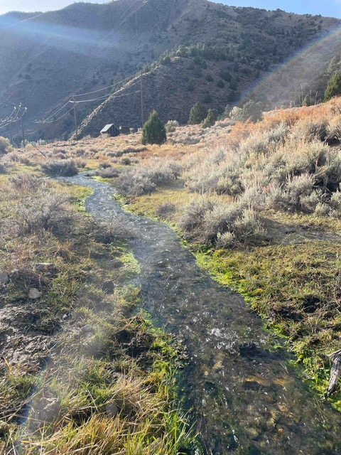
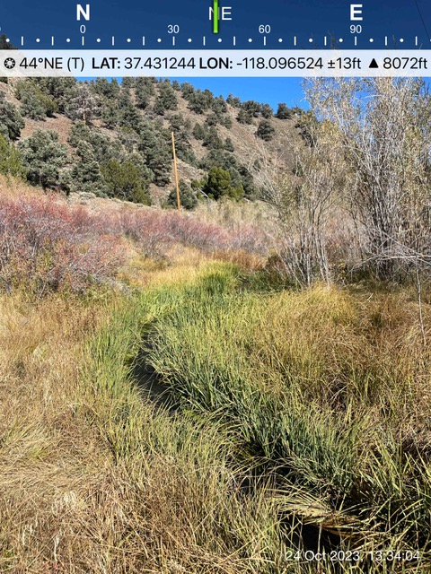
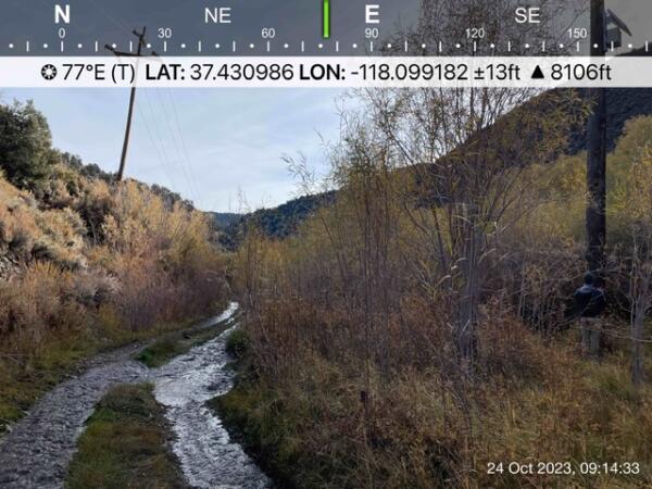
SummitWest Environmental, on behalf of ERM, conducted a wetland and waters delineation at the Wyman Canyon Project site in Inyo County, California, on October 23–25, 2023. The assessment covered 11 poles and 4 anchors for Southern California Edison (SCE) along Wyman Canyon Road, within and adjacent to Wyman Canyon Creek and included a 50-foot buffer around each work area and associated access routes. Several pole locations were determined to support wetland waters of the U.S. and State, as well as CDFW-jurisdictional riparian habitat. SummitWest provided professional opinion on whether the project may require a CDFW Section 1602 Streambed Alteration Agreement, a Clean Water Act Section 404 permit from the USACE, and a Section 401 Water Quality Certification from the RWQCB. Additional clarification of project impacts will be needed before permit applications can proceed. Permits must be secured prior to construction and may require mitigation.
SOUTHERN CALIFORNIA EDISON FIELD DELINEATIONS
2023, Tulare County, CA
SummitWest, contracted by AECOM, conducted biological assessments at five sites as part of Southern California Edison’s Vegetation Management Program. Work included evaluating general site conditions, identifying surface water presence, and documenting existing habitat types by lead wetland delineators. Field surveys were performed to detect sensitive plant and wildlife species. The team assessed potential impacts associated with vegetation trimming and tree removal, including those related to riparian habitats. As part of the environmental review process, SummitWest developed avoidance and minimization measures to reduce impacts on sensitive resources. Jurisdictional Delineation Reports were prepared where warranted, based on field-verified conditions, to document the presence of potentially jurisdictional waters and riparian areas.
SOUTHERN CALIFORNIA EDISON MILL CREEK DELINEATIONS
2024, Inyo County
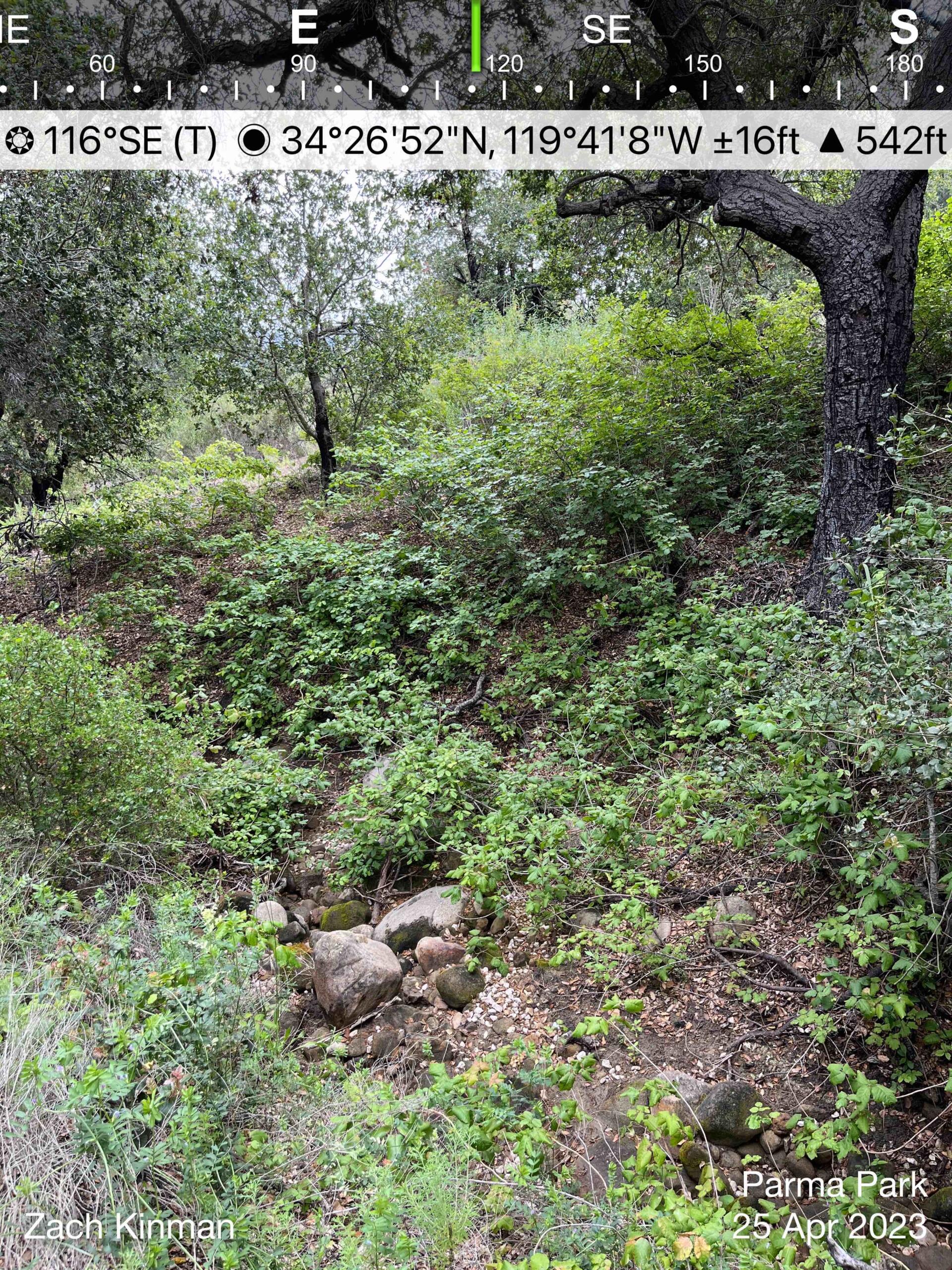
SummitWest Environmental, on behalf of ERM, conducted a wetland and waters delineation near Bishop, Inyo County, California, for the SCE LAWS Pole Replacement Project. The assessment included one pole and two anchors located near U.S. Highway 6 and Silver Canyon Road. Two wetlands with hydric soils and hydrophytic vegetation were identified near the work area. SummitWest provided professional opinion on whether the project required a Section 404 permit (USACE), Section 401 Water Quality Certification (SWRCB/RWQCB), and a CDFW Section 1602 Streambed Alteration Agreement.
ANDREE CLARK BIRD REFUGE
2024, City of Santa Barbara, CA
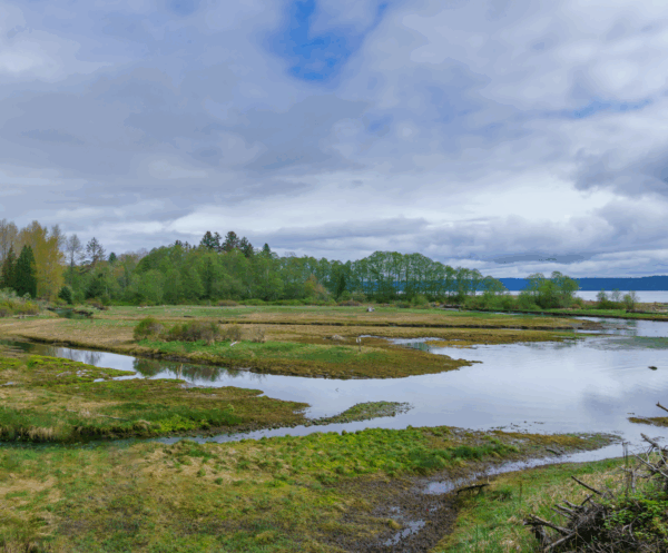
SummitWest Environmental conducted an updated jurisdictional delineation and aquatic habitat assessment for the Andree Clark Bird Refuge in support of renewed permitting efforts for habitat restoration and maintenance activities. The survey verified that conditions remain consistent with previous delineations, with multiple wetland vegetation communities, such as bulrush marsh, pickleweed mat, and arroyo willow thicket, meeting U.S. Army Corps of Engineers criteria for waters of the U.S., and qualifying as jurisdictional under both USACE and California Department of Fish and Wildlife (CDFW) regulations. In addition to the wetland areas, three concrete-lined channels were identified. The verification supports future permitting for restoration activities that may affect these aquatic features
GROW THE FORCE INITIATIVE, CAMP PENDLETON
2008, San Diego, CA
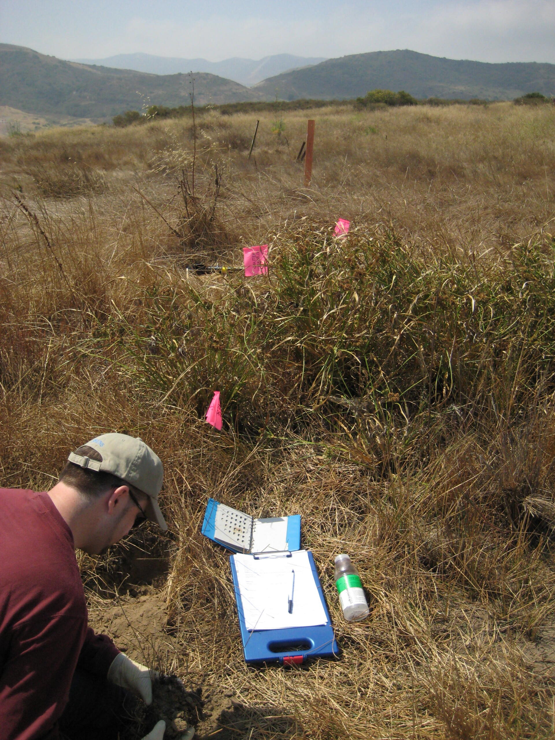
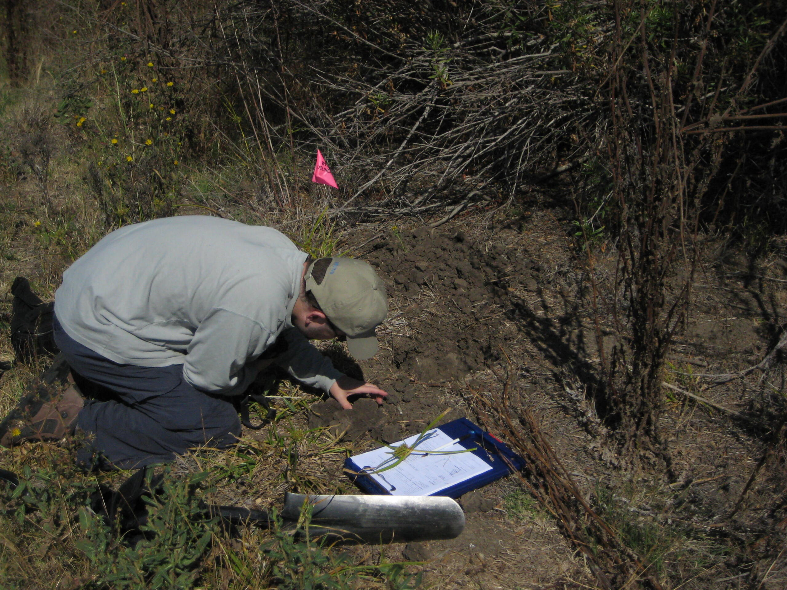
Under Camp Pendleton’s initiative known as “Grow the Force”, an assessment of potential jurisdictional “Waters of the U.S” was conducted within 45 proposed permanent bed-down facilities. Formal delineations were conducted where warranted. Chez Brungraber assisted a wetland scientist as the lead botanist on these wetland delineations and site assessments. Over 50 sites were delineated, with almost half of them being completed solely by Mrs. Brungraber, who also helped compose data for, create tables for, and edit and write the corresponding Jurisdictional Delineation Report on behalf of AECOM. Habitats surveyed included vegetated wetlands (in the form of southern willow scrub wetland, coastal and valley freshwater marsh and other waters of the U.S. (in the form of drainage features and unvegetated waters).

